
Part five of the seven-day logbook of the yacht Bonaca, sailing from Rijeka to Split. After a campfire evening in Telašćica, we sail into the Kornati, the archipelago Ante the fisherman told us to visit slowly.
Missed the previous entry? Read Part 4 of the Adriatic Logbook first.
Ship’s Log
- Day: Day 5 of 7
- Leg: Telašćica → Kornati National Park (Vela Proversa → Kornat)
- Distance: approx. 14 nautical miles
- Wind & weather: NW maestral 8–12 knots; sunny, 31 °C, sea calm
Through the Gate
The Kornati begin just south of Telašćica. From Dugi Otok we passed through Vela Proversa, a narrow pass between Dugi Otok and the small island of Katina. It is one of the official entry points to the park, and it is shallow enough that you watch the depth sounder very carefully. Just beside it lies Mala Proversa, an even narrower channel that was already used and deepened in Roman times. The remains of Roman buildings and a fish pond have been found along its shores.
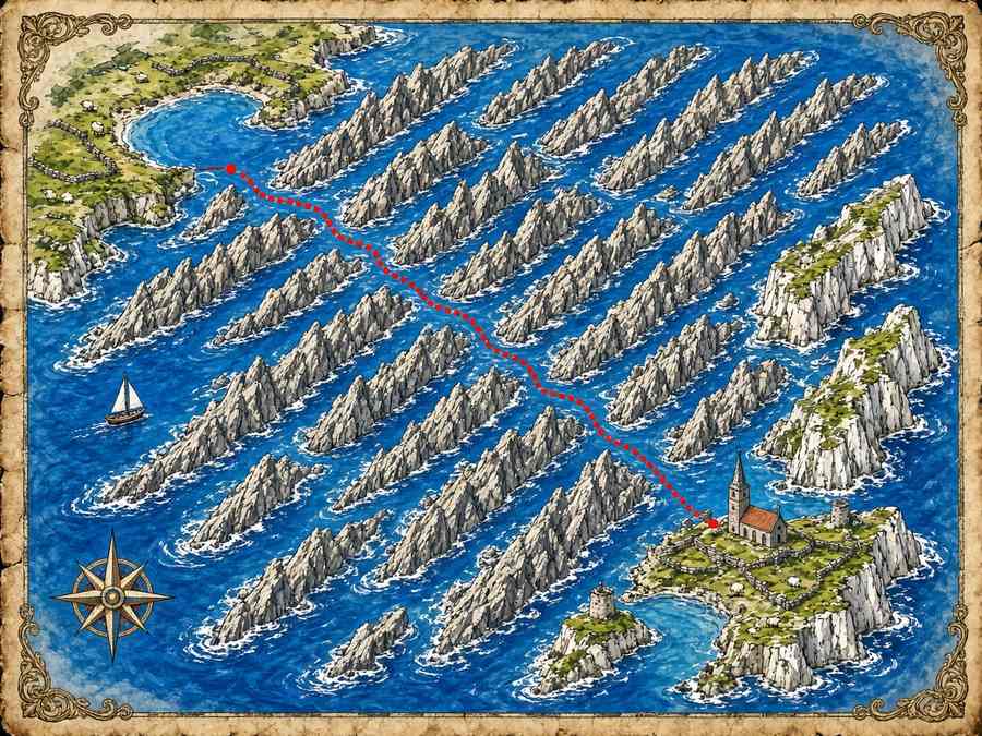
Then the archipelago opened up in front of us, and it is unlike anything else on this coast. The Kornati National Park, created in 1980, takes in 89 islands, islets and reefs. More than three quarters of the park is sea. The islands themselves are bare, pale and rocky, with very little forest, crossed by endless dry stone walls that run straight up hills and down to the water. On the seaward side, the outer islands end in steep cliffs that locals call “crowns”. The name of the archipelago is often traced back to the Latin word for crown.
Tickets, Buoys and Rules
A ranger boat came alongside within twenty minutes to check our ticket. Insider tip: there is a fee for every boat in the park, and it is usually cheaper to buy it in advance than from the ranger boat. Anchoring and mooring are only allowed in designated places, and fishing is restricted. Most important for us, diving is only allowed with an authorized dive centre. We had planned for exactly that.
We picked up a buoy near the island of Kornat, the largest island of the archipelago, about twenty-five kilometres long and so narrow in places that you can see the sea on both sides.
Maya’s Dive
At ten a small dive boat from a centre on Murter picked Maya up, together with three other divers and an instructor with a voice like a radio presenter. Niko and I snorkelled while they dropped down a reef wall a little further along. Maya came back an hour later, absolutely glowing. She had seen a grouper peering out of a crack, a moray eel, schools of silver fish and red gorgonian fans on the wall below twenty metres. “Goal achieved,” she said, and then she said nothing else for ten minutes, which for Maya is the clearest sign of happiness I know.
History in Stone
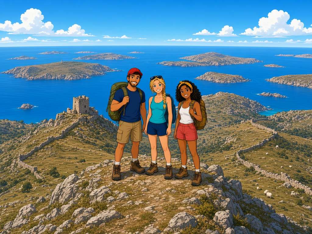
In the afternoon we went ashore near Tarac, a small green field on Kornat where life in the archipelago was concentrated for centuries. Here stands the little Church of Our Lady of Tarac, built on the remains of a much older building from late antiquity that was later turned into an early Christian church. On the hill above it stands Tureta, a ruined stone tower from the sixth century. It was long thought to be a military fort. Today researchers believe it was more likely part of a monastery, used to keep watch, store food and shelter monks and islanders.
The more recent history is just as remarkable. For centuries the islands were owned by noble families from Zadar, while fishermen from Sali on Dugi Otok held the fishing rights. At the end of the nineteenth century the landowners could no longer pay their taxes and sold up. Farmers from the island of Murter bought Žut in 1885 and, together with people from Betina and Zaglav, Kornat and its neighboring islands in 1896. To this day, the islands are privately owned, almost all by families from Murter. Those families built the dry stone walls to mark their land, kept sheep, planted olives, and built the small stone houses you see along the shore, used seasonally and never as permanent villages.
Up to Metlina
At five, when the heat broke, we hiked up toward Metlina, the highest point of the Kornati at 237 metres. The path is stony and the sun reflects off the white rock, so take more water than you think. From the top the whole archipelago lies at your feet: dozens and dozens of bare islands in a deep blue sea, the walls drawing lines across every hill and the tower of Tureta standing on its ridge. We sat there in silence until the light turned gold.
Dinner at the End of the World
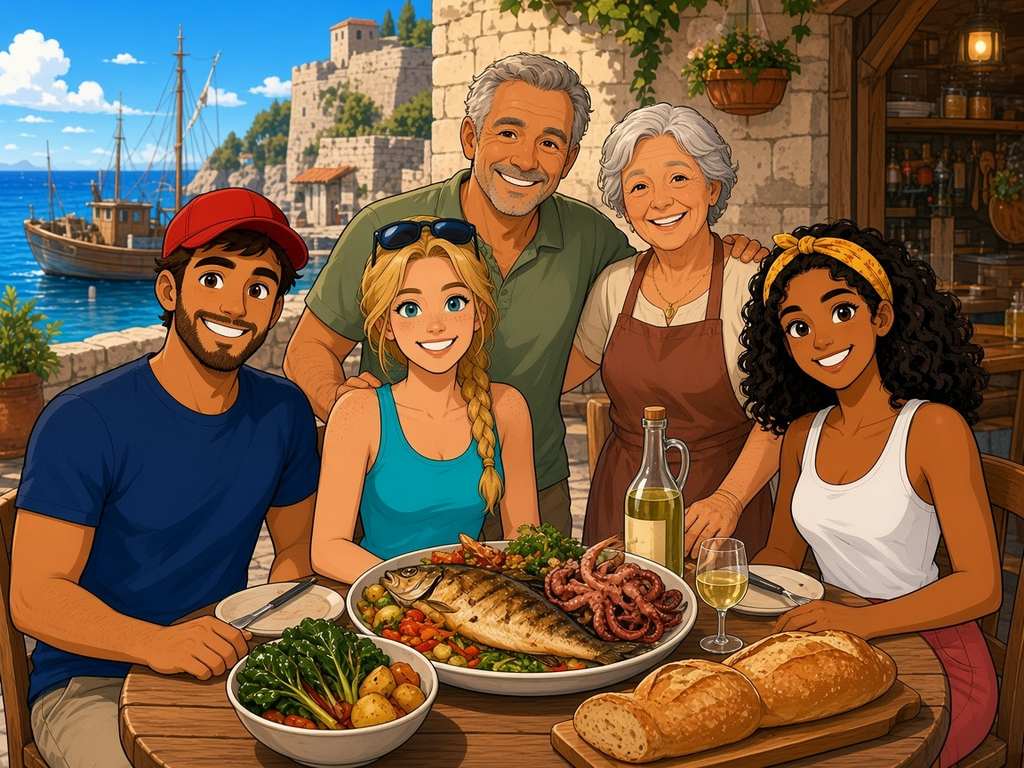
The Kornati has no shops and almost no fresh water, but it does have a handful of seasonal restaurants run by owner families from Murter. We ate at one of them on a terrace above a tiny harbor. The owners, a sun-browned man with grey hair and his smiling wife, served grilled fish, octopus salad, Swiss chard with potatoes and garlic, homemade bread and a jug of their own white wine. They told us that his grandfather walked these hills with a flock of sheep long before there were tourists or rangers or even engines on the boats.
Evening Log
Ante the fisherman was right. There is nothing here, no cars, no lights on the hills, no noise. And that is exactly the point. Goal two, the dive, is complete. Niko still has no broken gear, though he made the mistake of saying that out loud tonight.
Log closed. Engine hours: 1.8 · Sailing hours: 2.5 · Dives: 1 (Maya, with a licensed centre) · Summit: Metlina, 237 m · Tomorrow: Šibenik, its fortress and cathedral, then up the Krka river to Skradin.
Part 5 of 7. The next logbook entry, Day 6, follows tomorrow.
About the Author



1 thought on “Adriatic Logbook, Day 5: The Kornati – Stone Islands, a Thousand Years of History and Maya’s Dive”